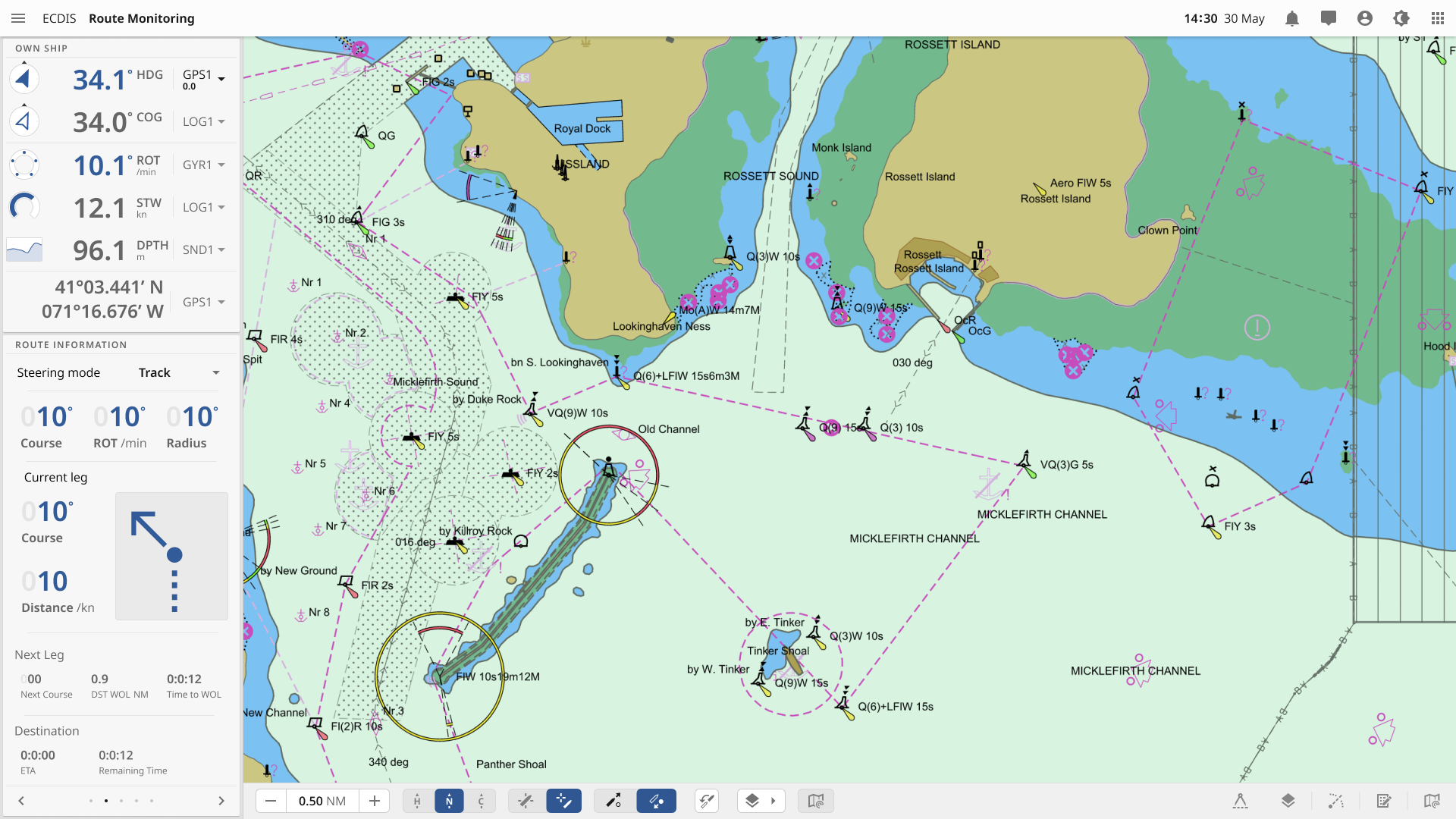
Ecdis 5.0
Ecdis (Electronic Chart Display and Information System) is a geographic information system used for nautical navigation. For an electronic navigation equipment to be recognized as an ECDIS, it needs to comply with IMO adopted ECDIS revised performance standards and receive type approval by an administration or a designated recognized organisation. Systems with similar functions and purposes that do not meet these requirements are referred to as Electronic Chart Systems (ECS). Please note that this case has not yet gone through the processes required for regulation approval, and should therefore only be viewed as an example of how an OpenBridge-compliant interface can be structured.
Ecdis 5.0
